Whew! Yesterday evening, we were happy to be in our apartment, warm and fed, rather than just getting back, long after dark. Our three-hour hike came far too close to being a six-hour slog. More on that later…
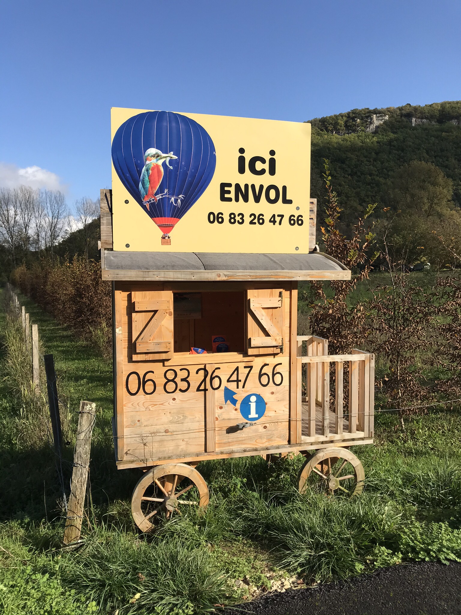
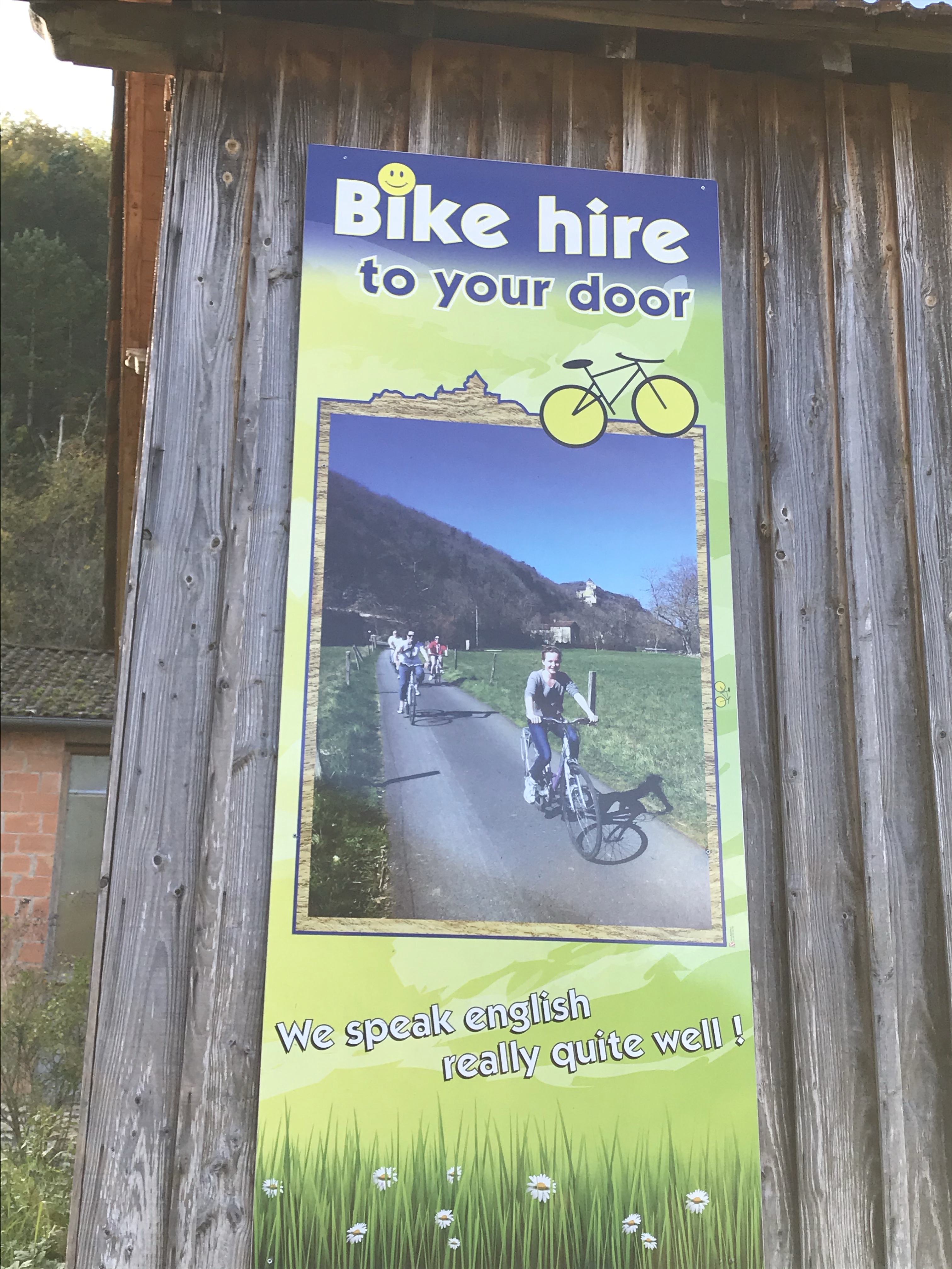
Our hike began on the GR (Grande Randonnée) 64 – our first steps on this hiking path, after our great experiences on the GR34 in Brittany – but we wanted to do a loop, not an out-and-back, so we wouldn’t follow the GR64 the whole time. We headed out from Castelnaud-La-Chapelle, very close to where we buy our daily bread. During the summer there’s obviously lots to do – hot-air balloon rides, bike rentals, …
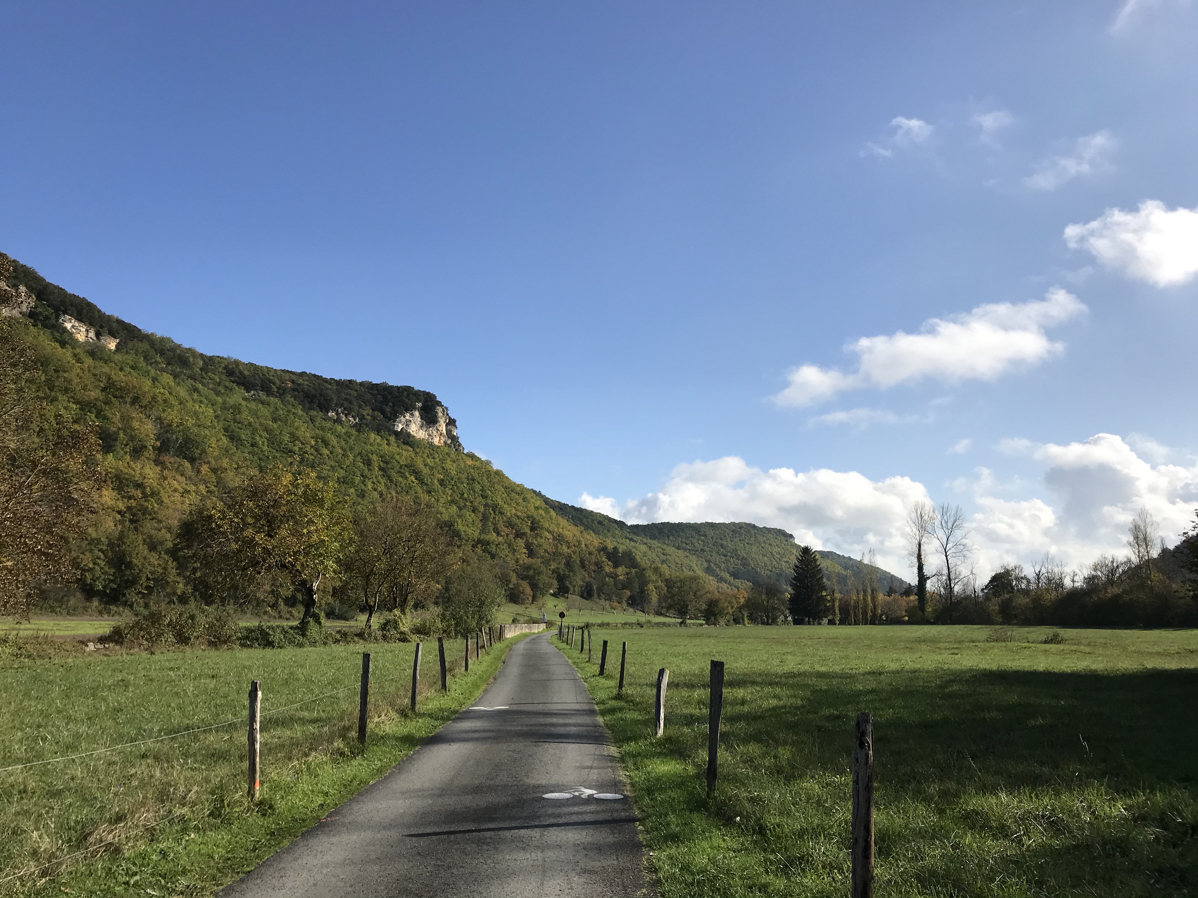
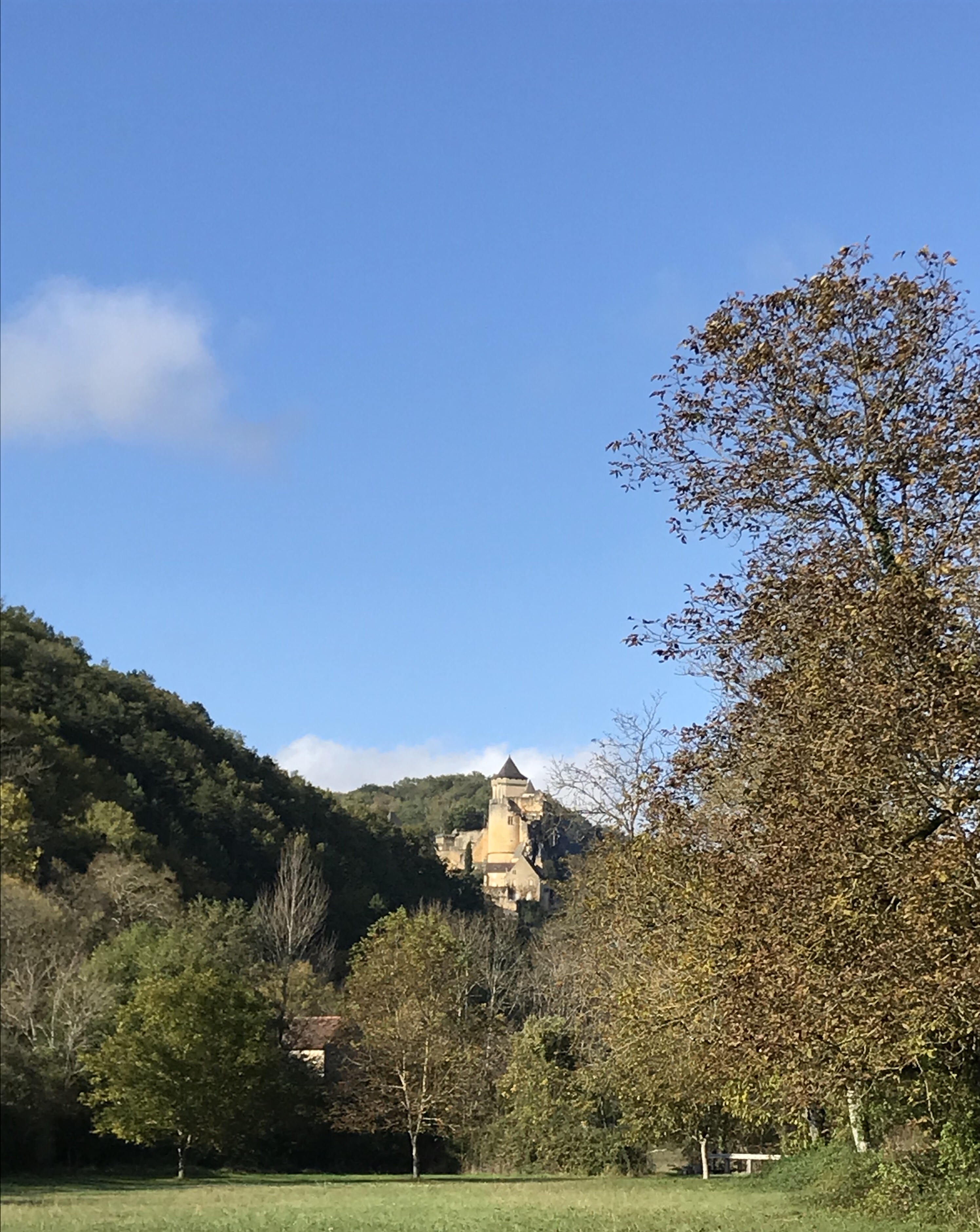
As we crossed a small valley,
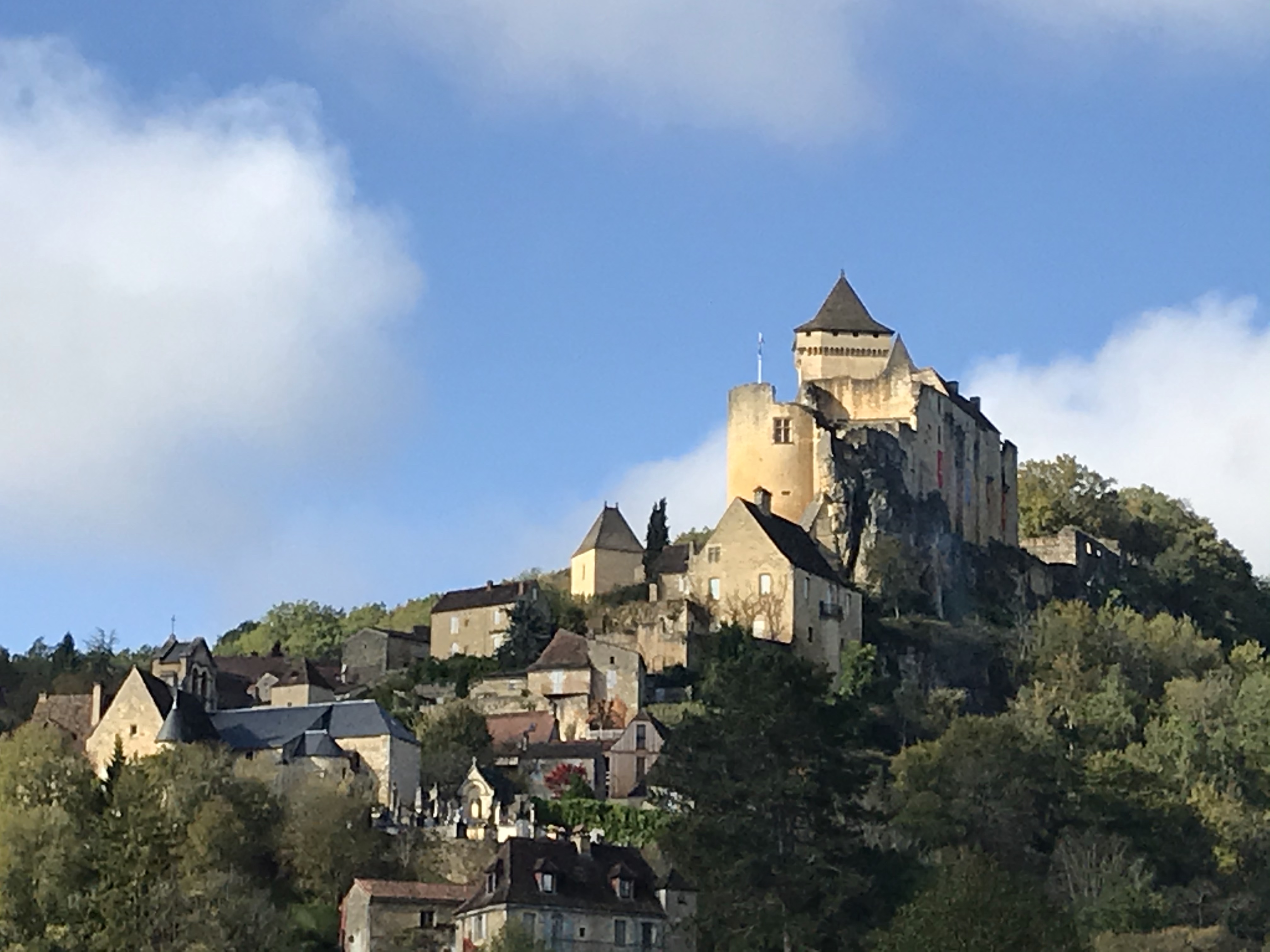
we had nice views of the Castelnaud castle.
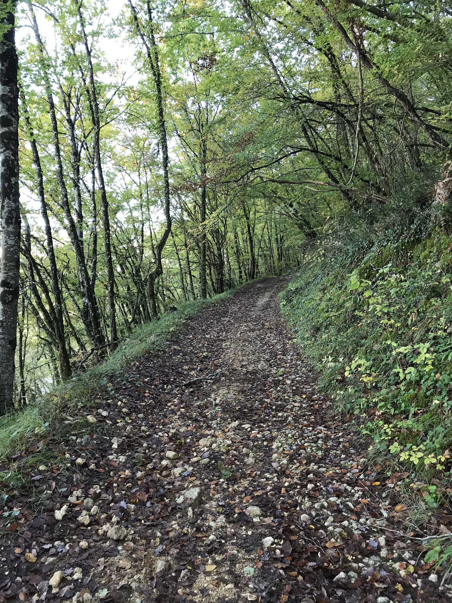
Then we headed up the side of a hill on a stony path, rising ever higher above the Dordogne River.
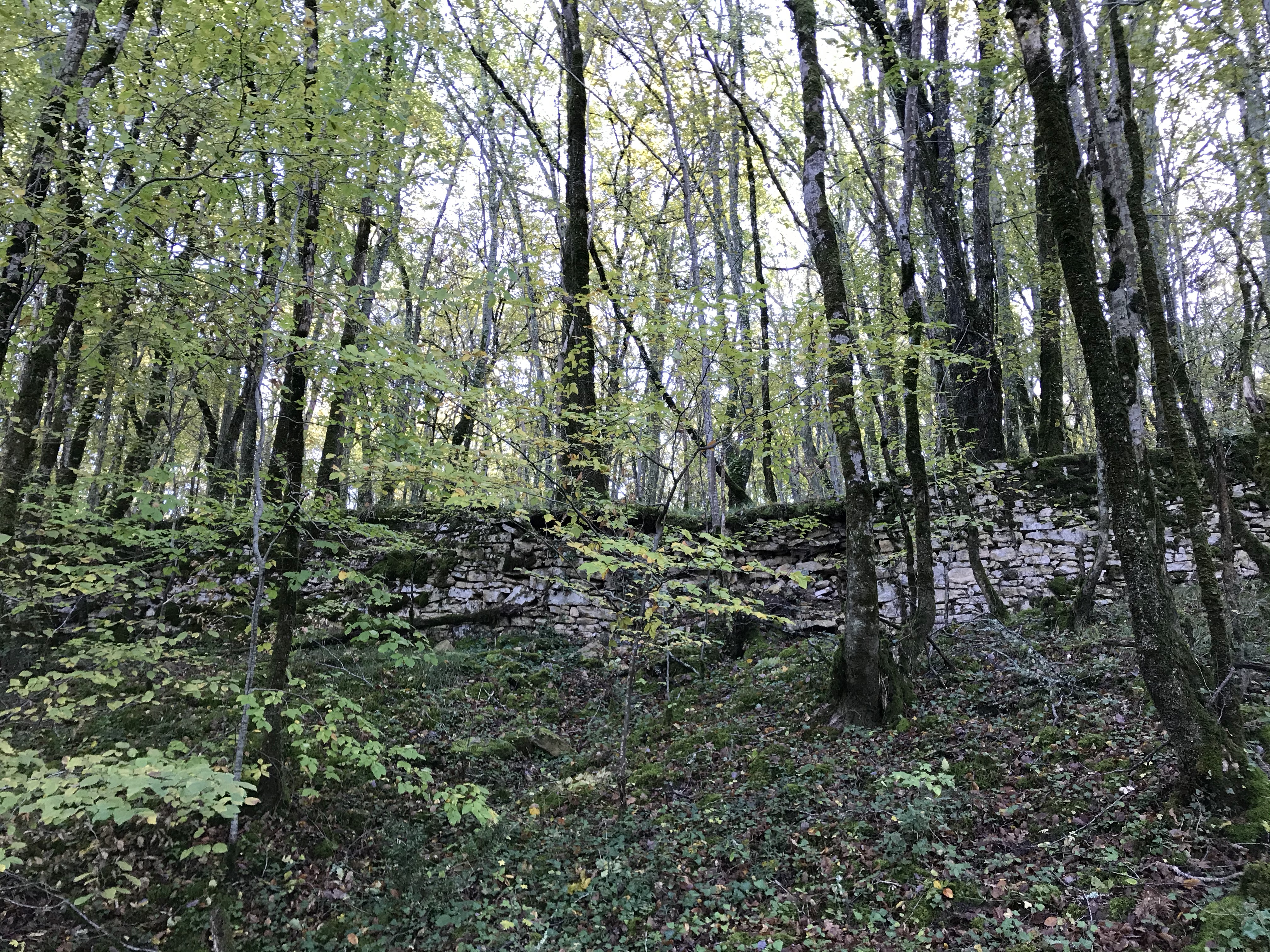
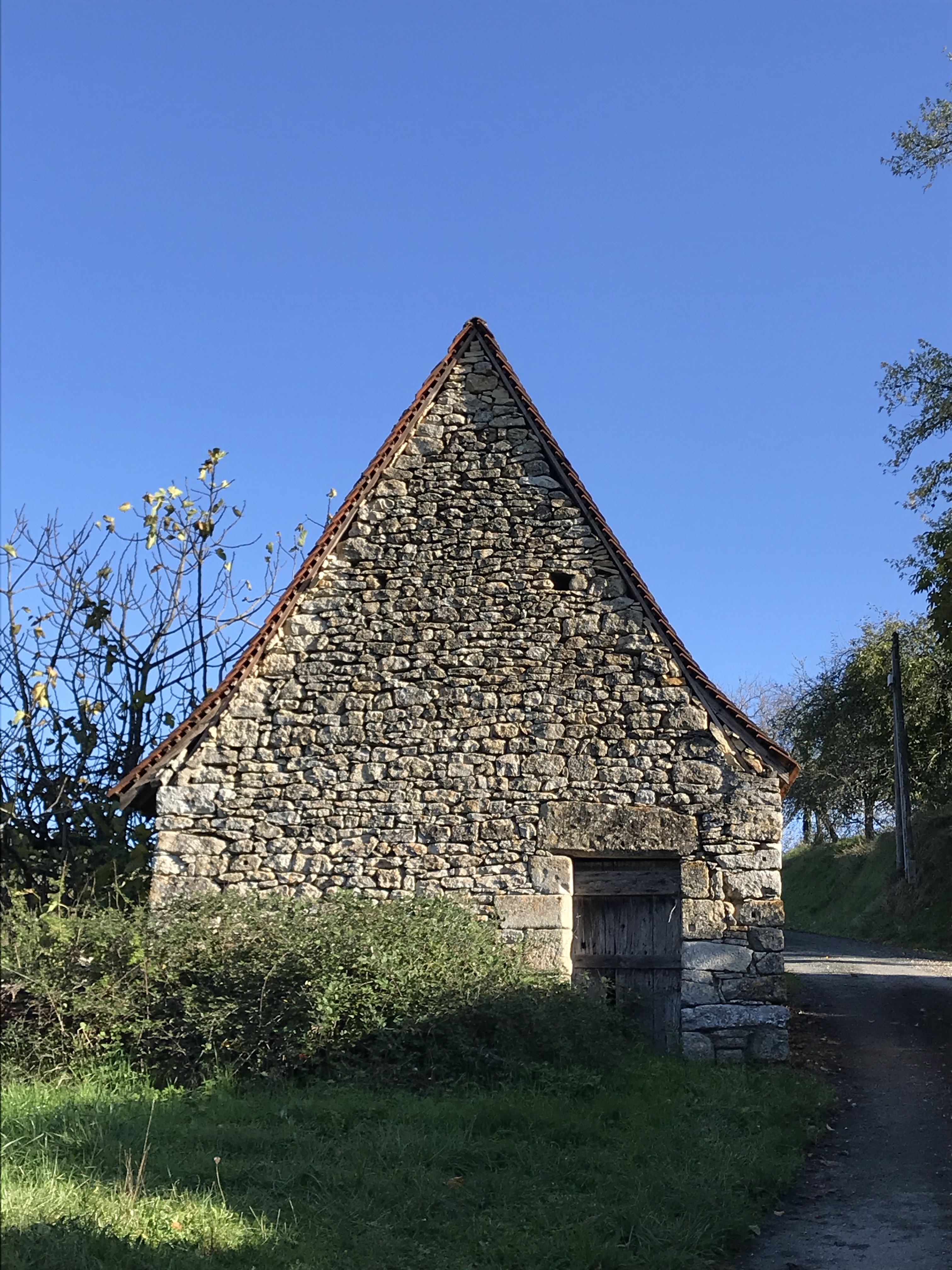
The entire hillside, which was quite steep (and long), had been terraced. It’s hard to imagine how much work it must have been, all done by hand. Was there a fortification on top of the hill long ago? Were they desperate to make more arable land?

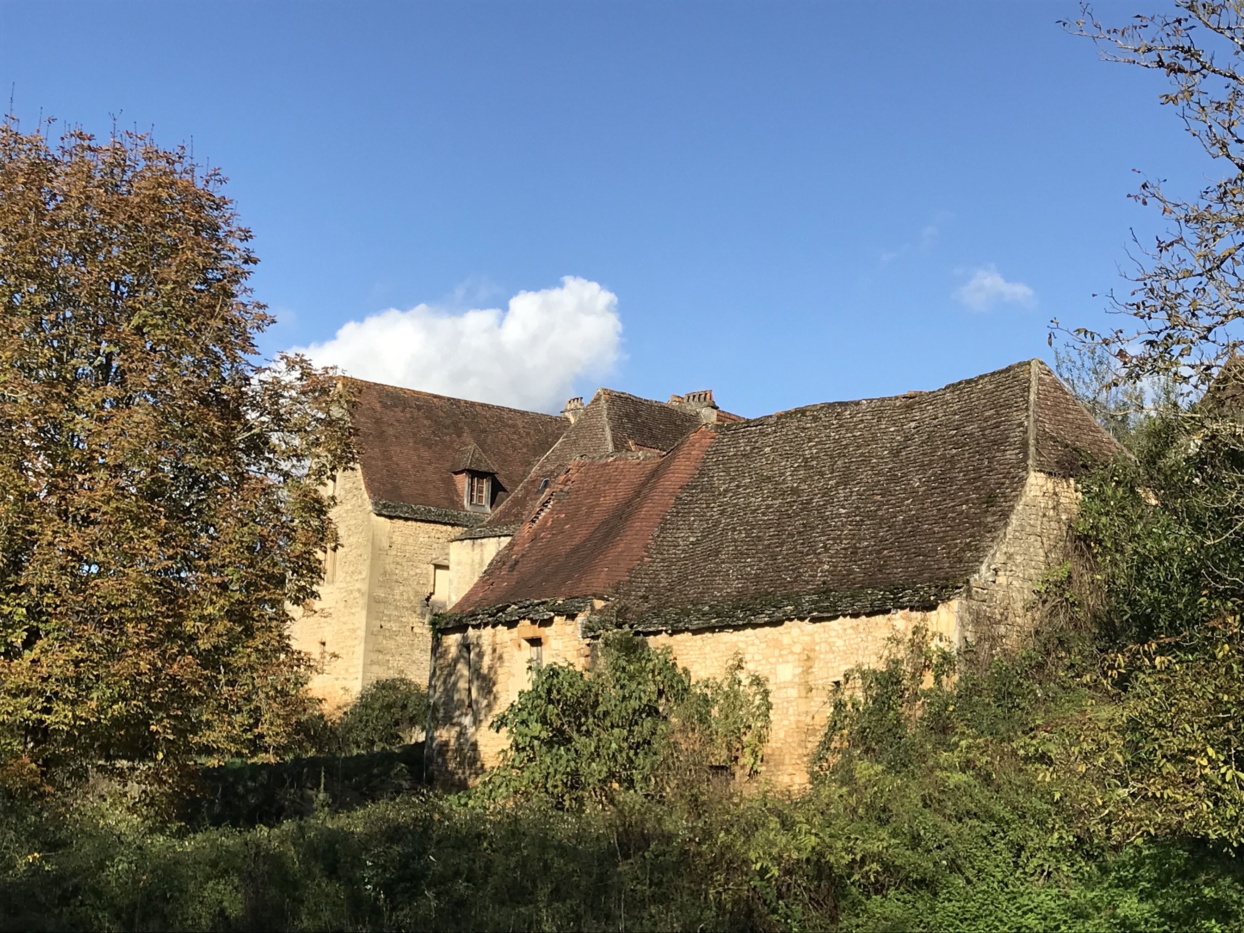
Hiking in the Dordogne isn’t as dramatic as it is along the coast of Brittany, so we have to pay more attention to the small things…

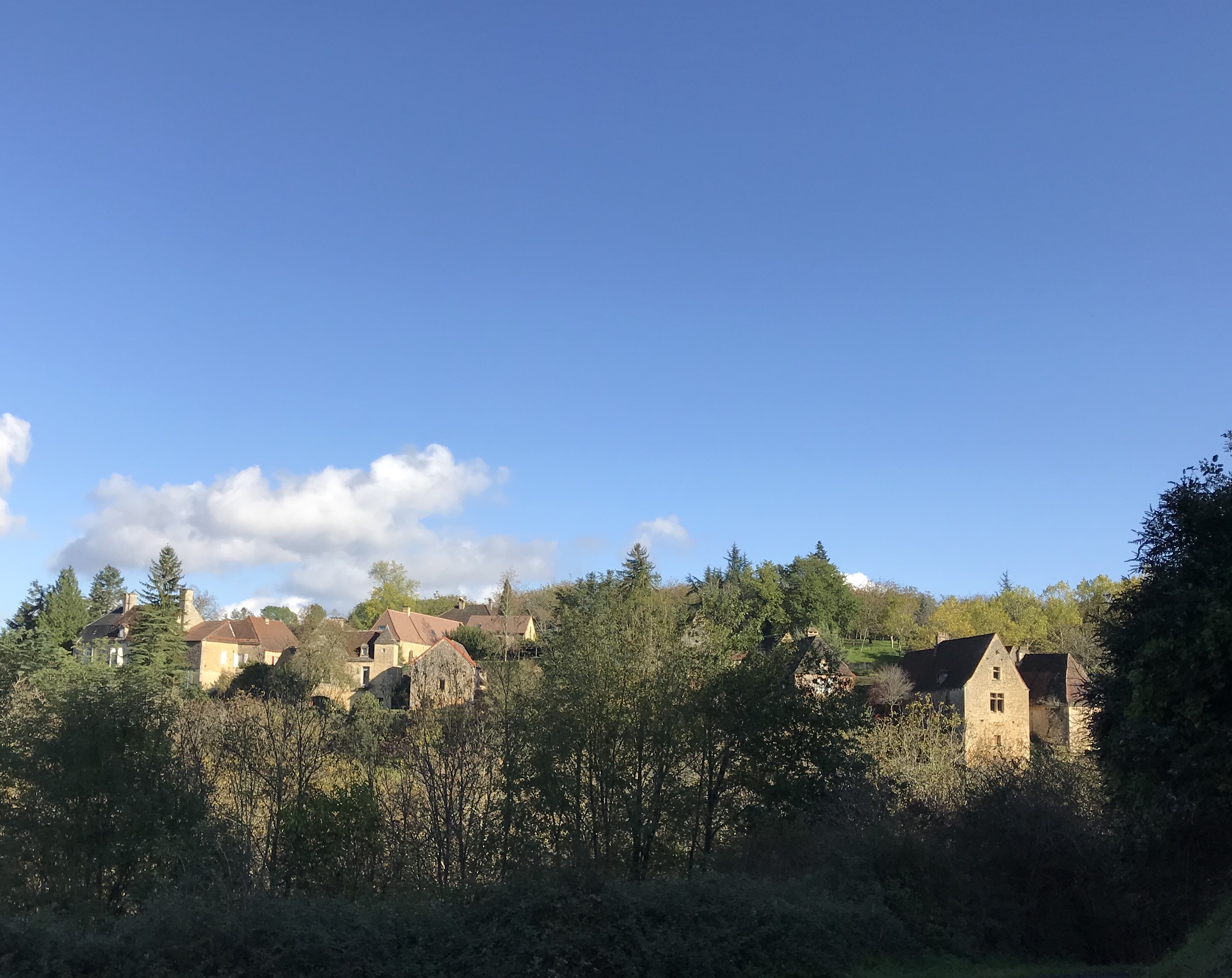
The hamlet of Saint Julien is just across the river from La Roque Gageac, but is completely different – very quiet and peaceful. As we walked into the village, a box truck that was trying to make a delivery couldn’t negotiate the curves between the houses and had to give up and drive away. Definitely not like the main street in La Roque Gageac, which has a steady stream of cars, trucks, and tourists.


Well out of town we found a notice on a clipboard that seemed to belong to the pre-internet era:
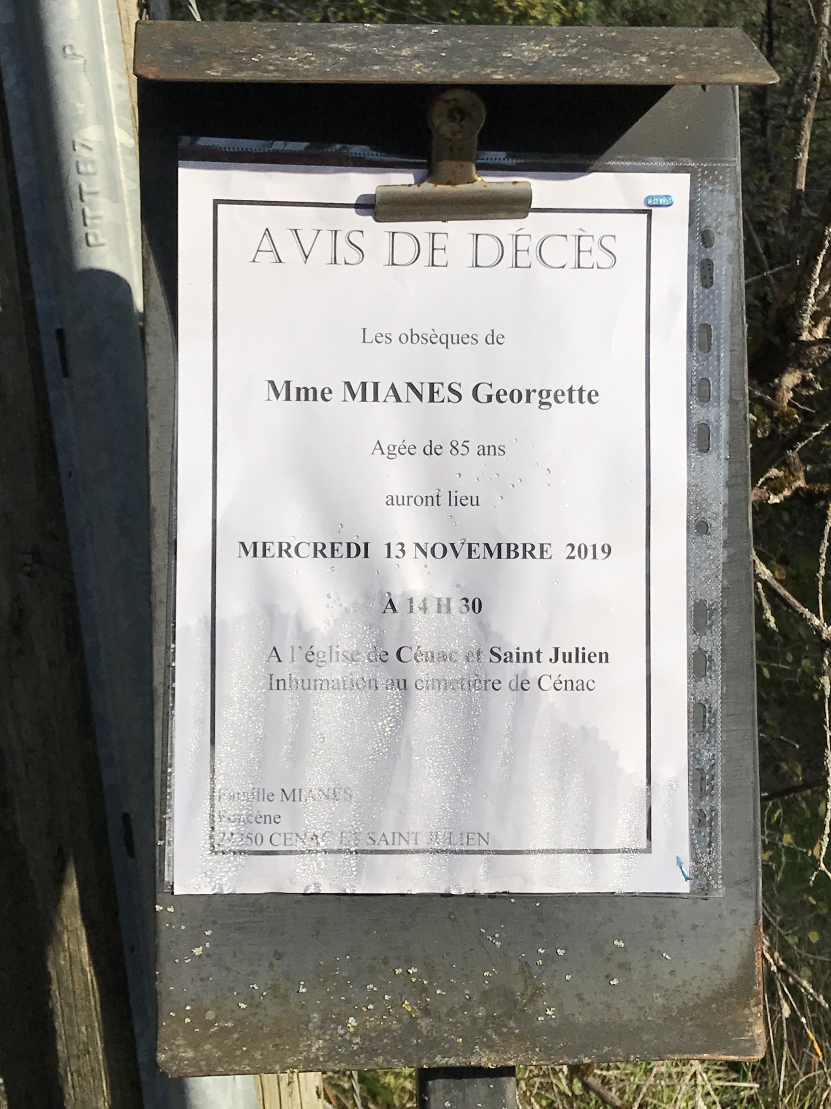
“Notice of Death: The funeral for Madame Georgette Mianes, 85 years old, will be held on Wednesday, 13 November, at 1430…” We had just been in what appeared to be the town square, but there was no similar posting there. Perhaps the custom is to use the public clipboard closest to where the deceased lived?
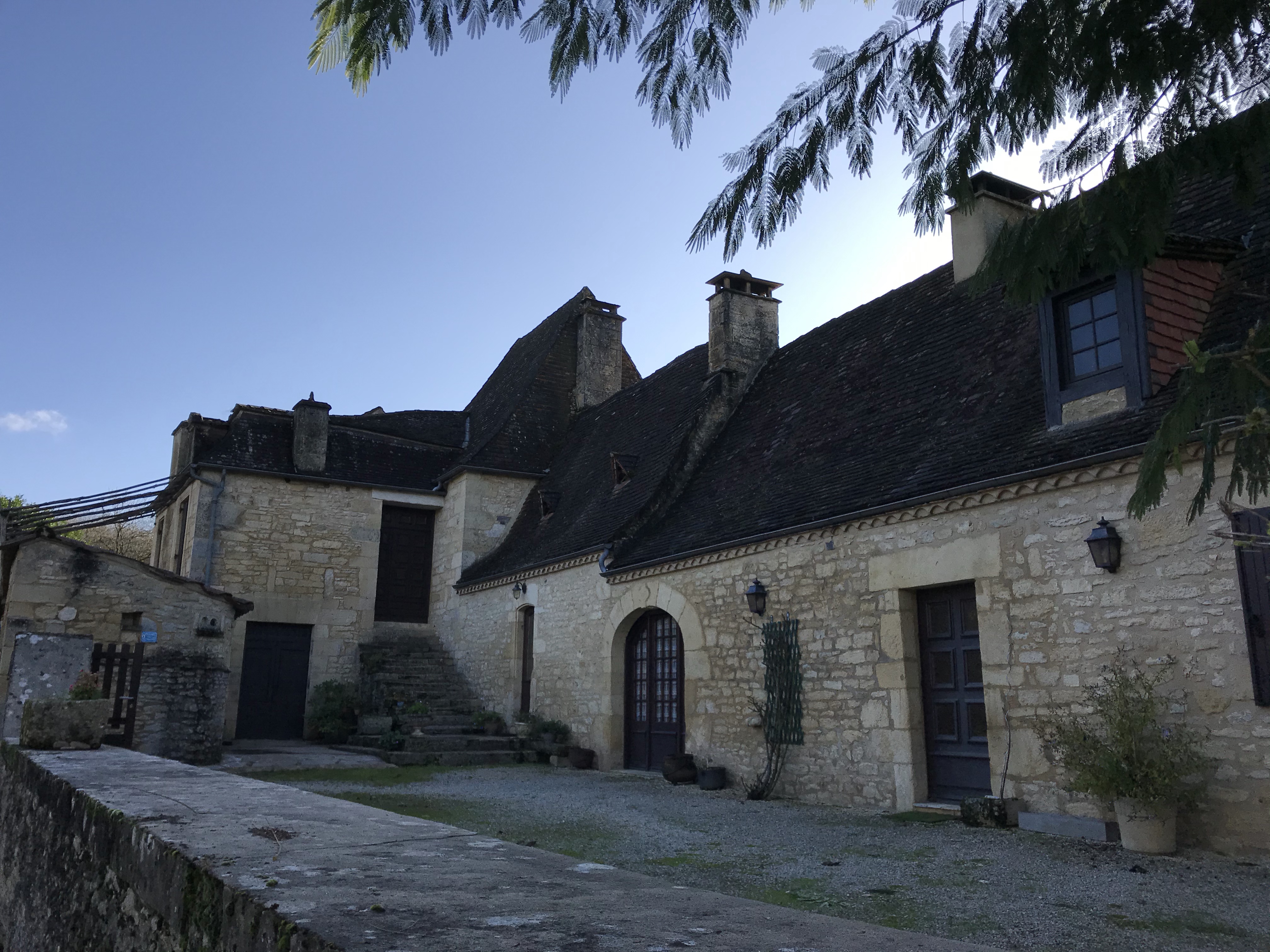
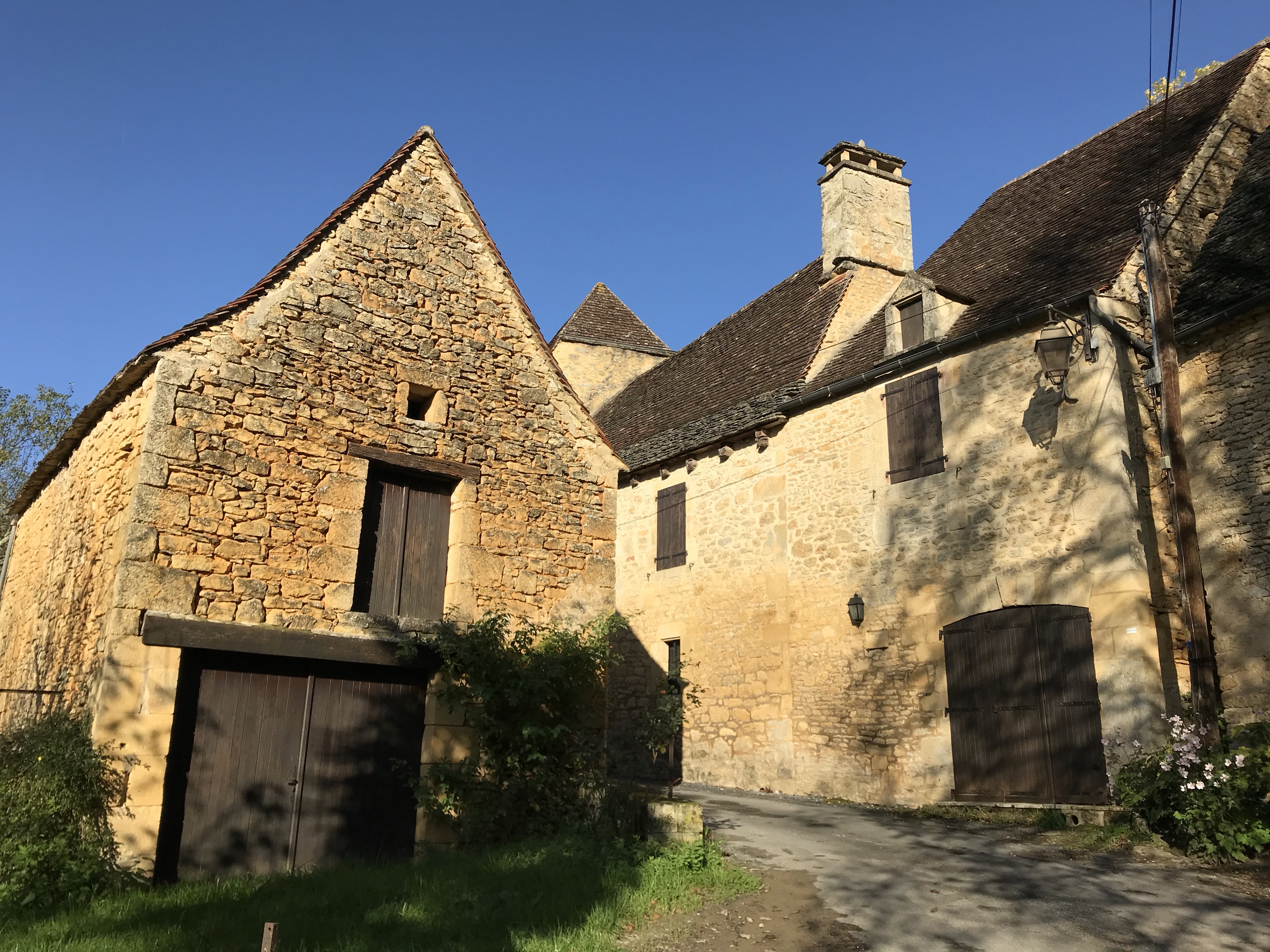
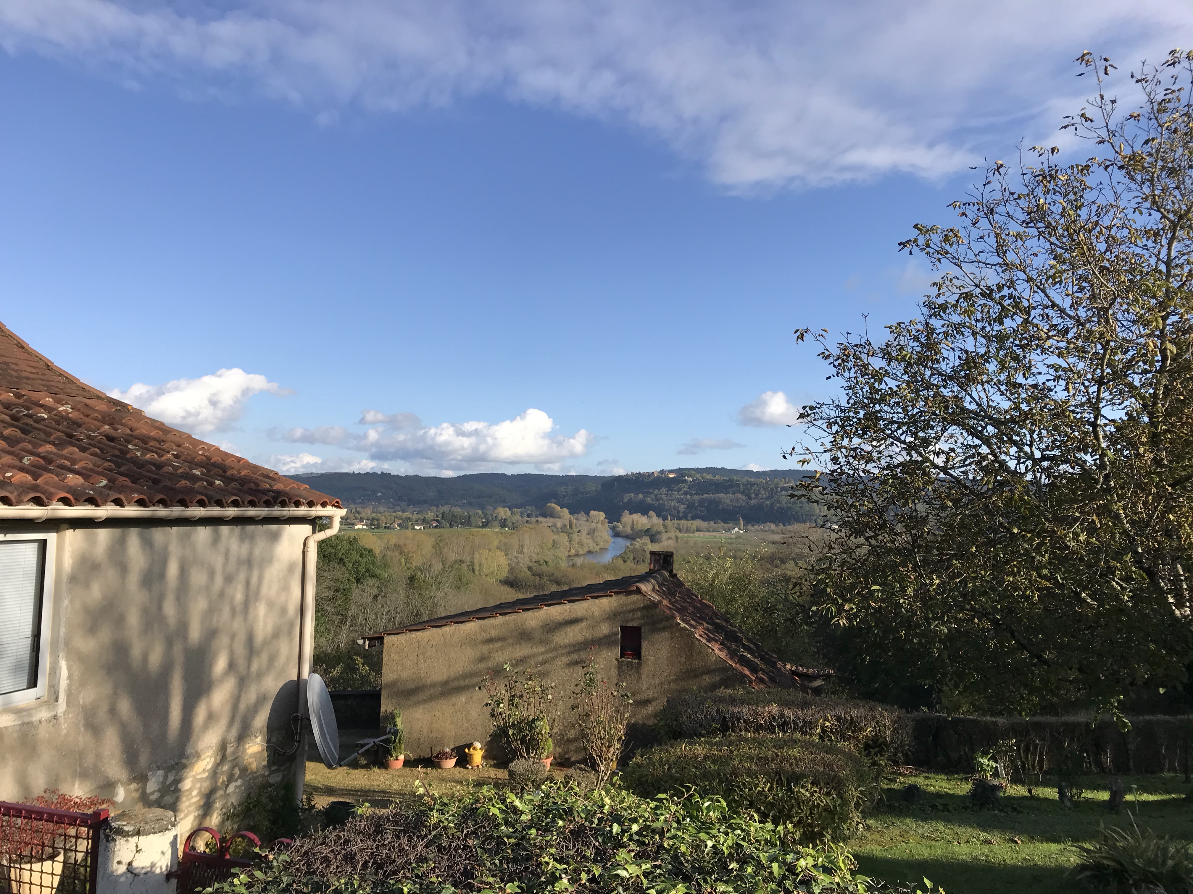
We left the GR64 as it headed further east toward Domme and instead headed south along a small road. We kept going up, up, and up, to where all the houses seemed to have fabulous views:
And then we went up even further. But then, then there was a hiccup… the France Outdoors app that we rely on showed a trail, but when we got there, there was a chain across the entrance with a “no hikers” sign attached. At this point we’d been walking for over two hours and we really didn’t want to turn around and go all the way back.
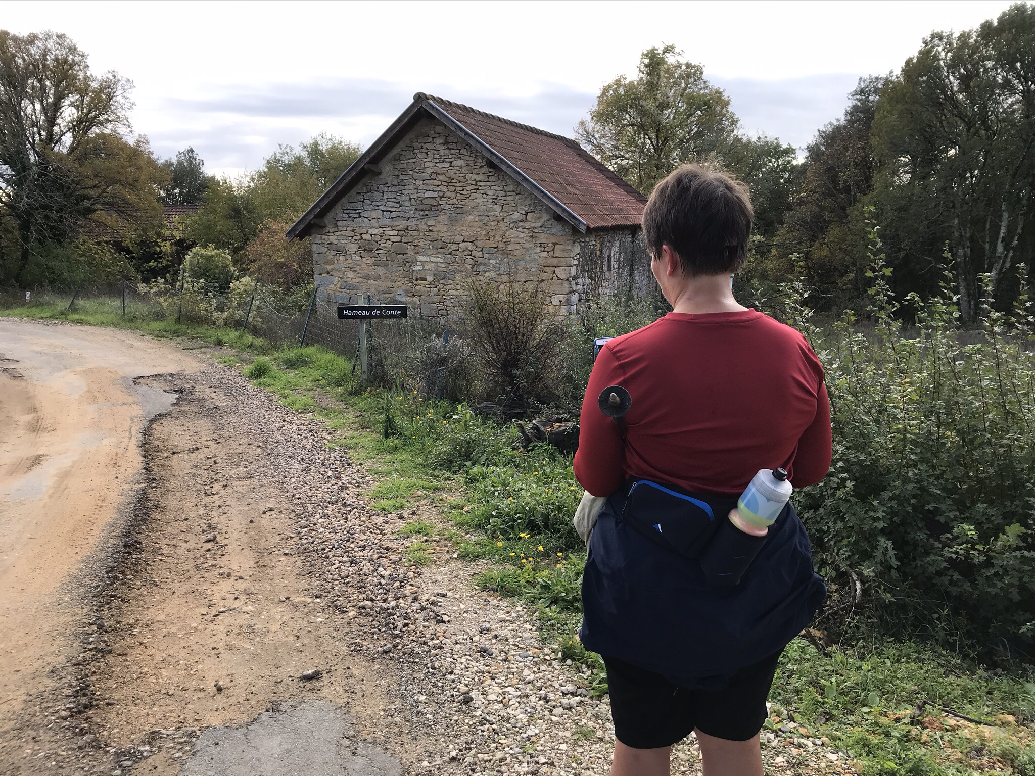
The map showed another trail a little further down the (dead-end) road – would that one really exist? No, it wouldn’t. Or rather, it would if we had a machete with us, which we didn’t. There was one last chance – at the far end of the dead-end road was another path to the west that came close to but didn’t connect to a path down. Maybe we could find a way through? Thankfully, we could.
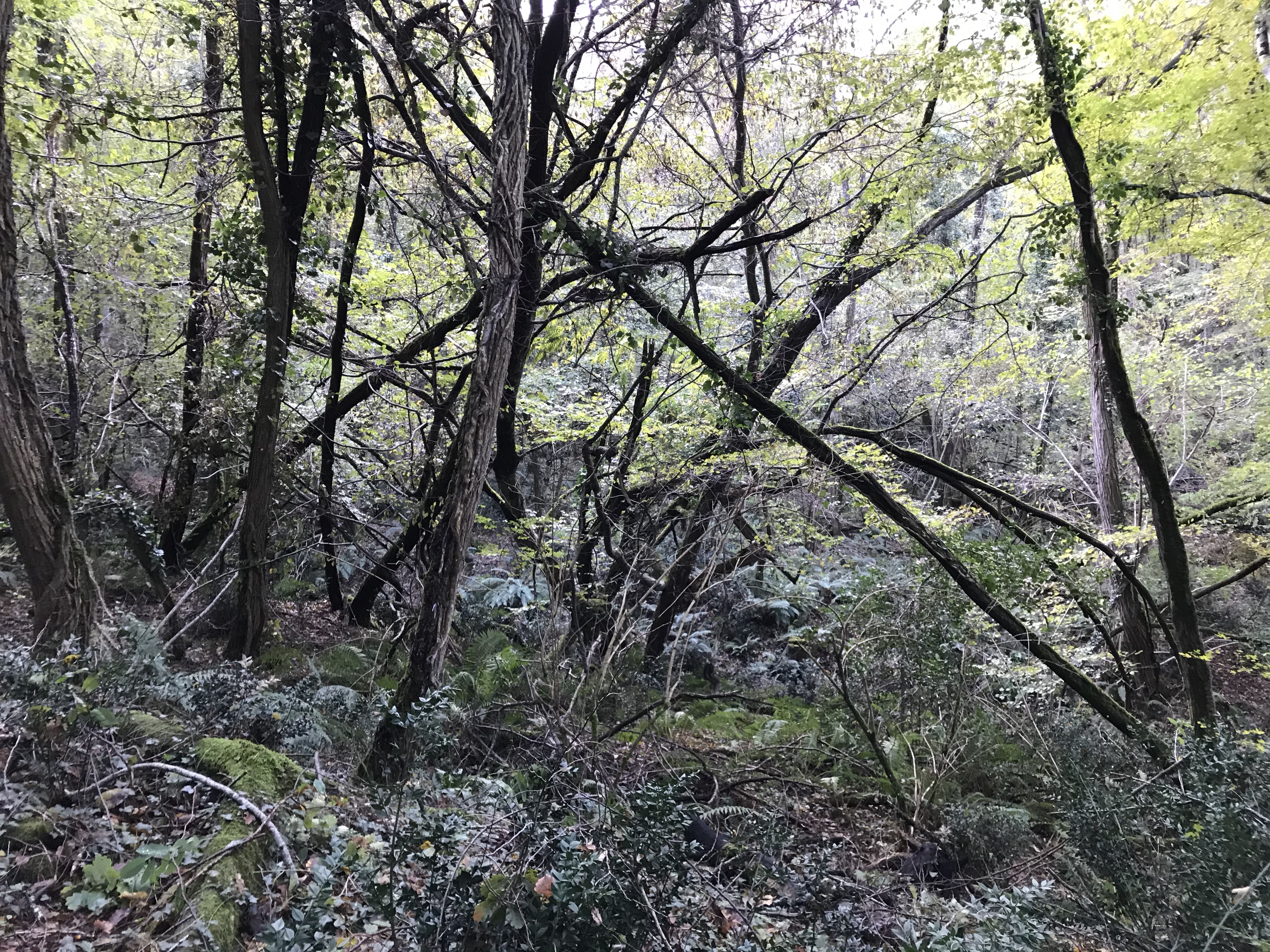
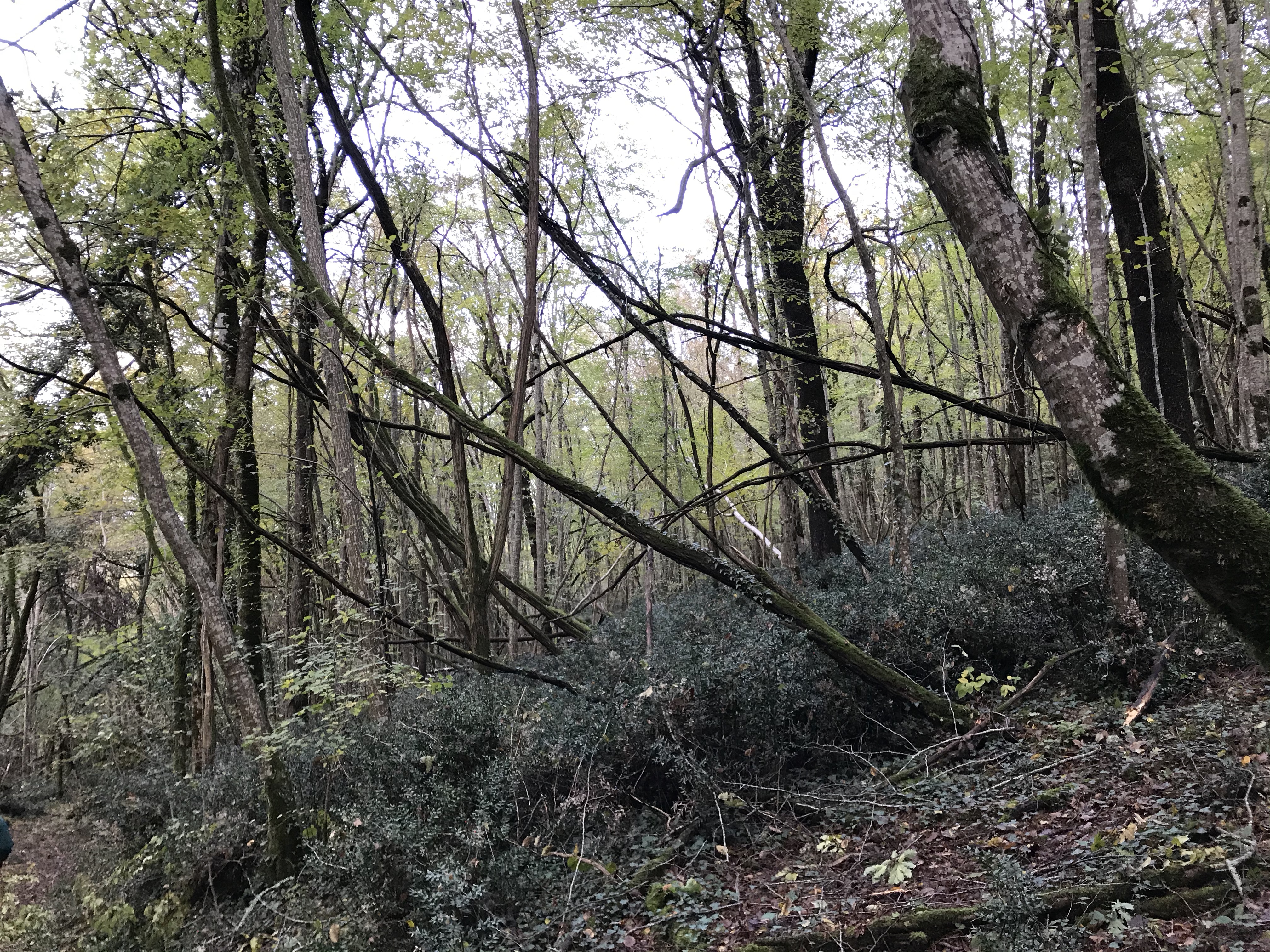
And then we found ourselves in an area that looked like a giant had been playing pick-up-sticks. Was it a violent wind storm? A tree disease? We’ll never know…
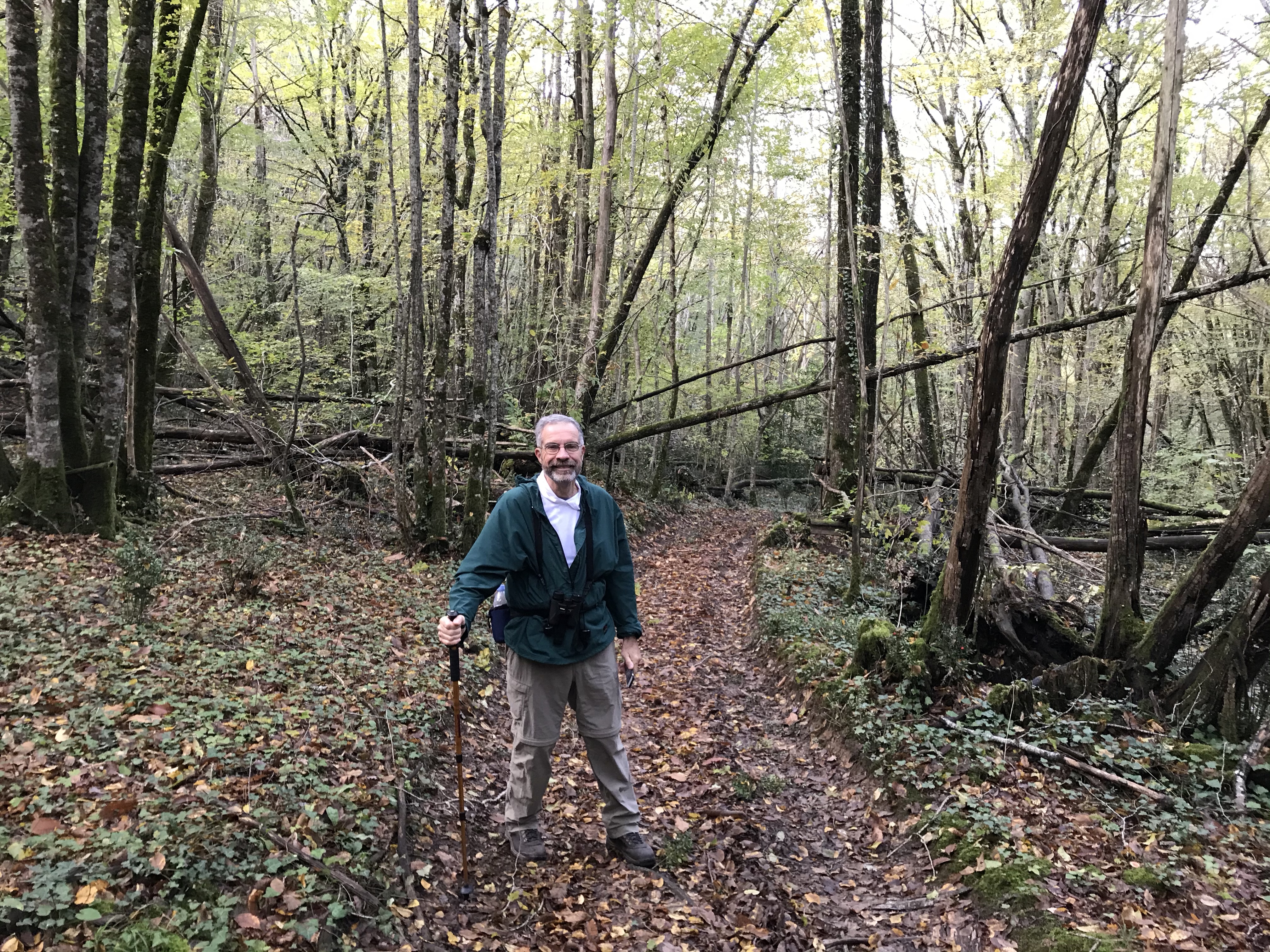
If only we’d had a better guide…