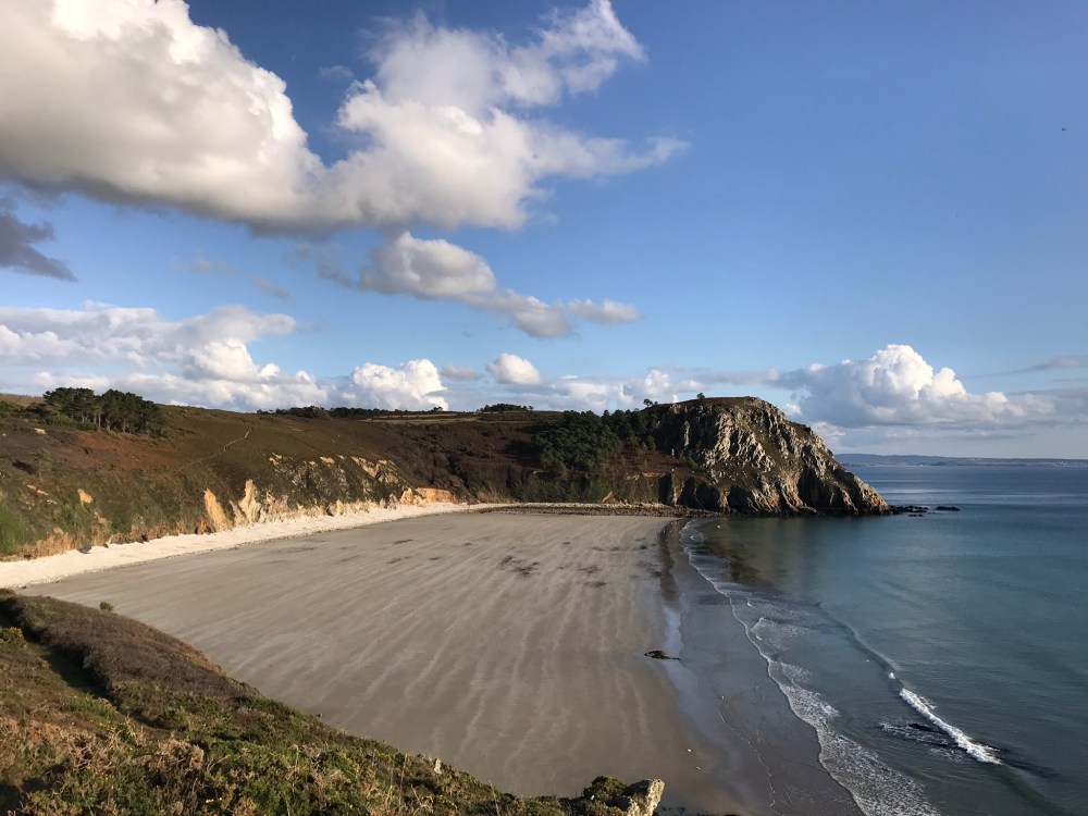
What a difference a day makes. Our Sunday hike was … rather damp. Monday’s hike was damp too, but only with sweat as the skies were blue and the sun was brilliant.
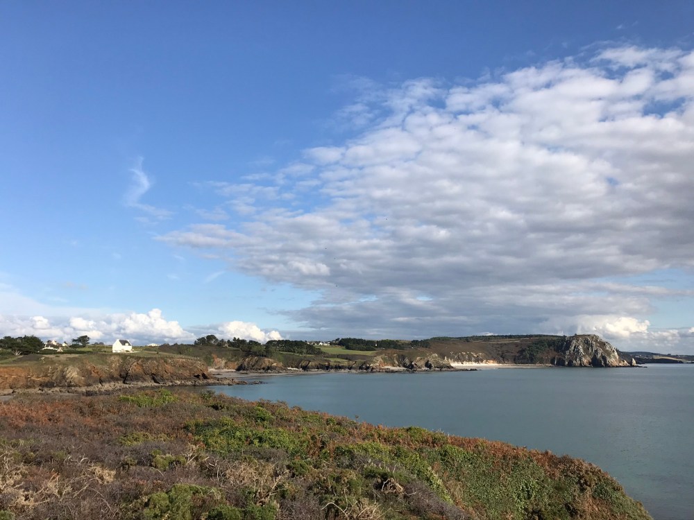
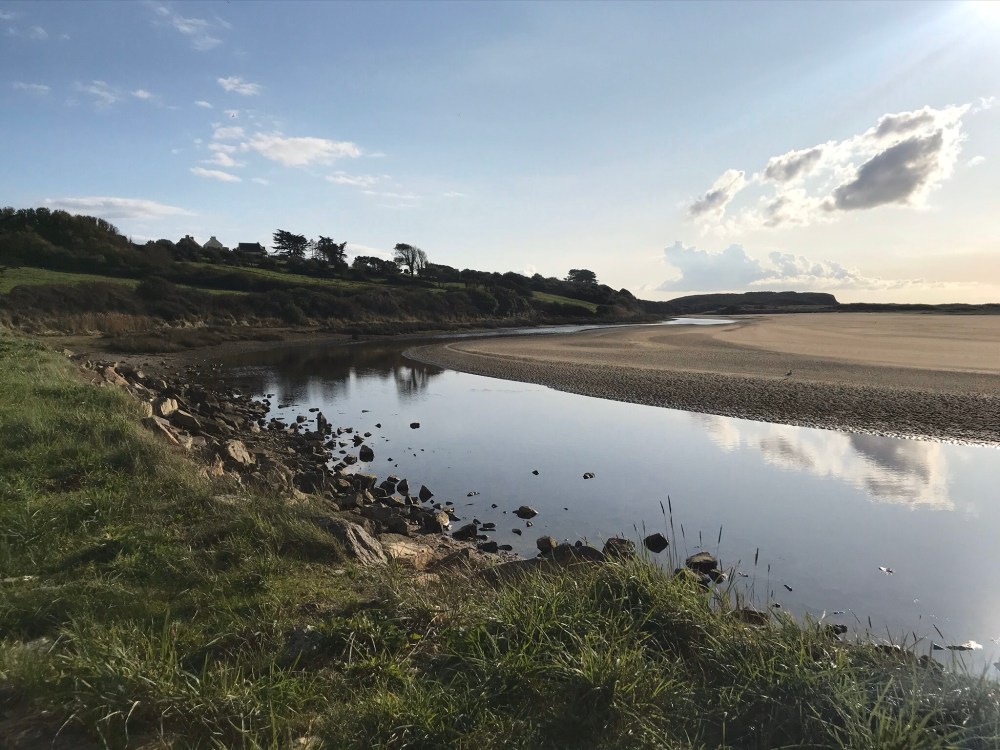
We started at the Pointe du Guern, the end point of a previous hike. From there we headed west toward the River Aber.

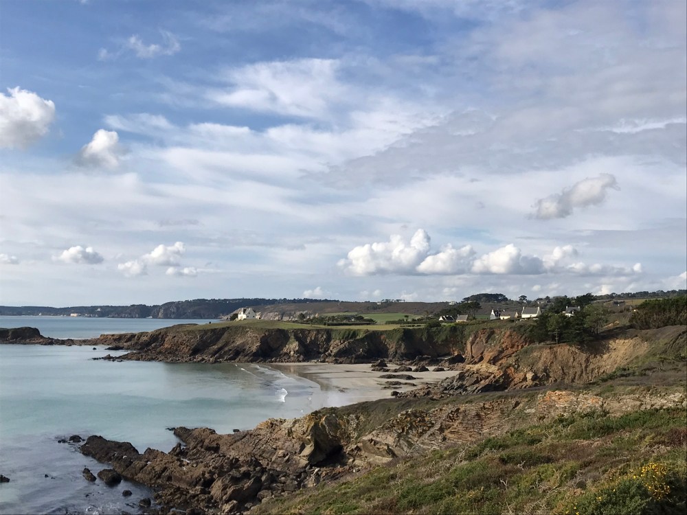
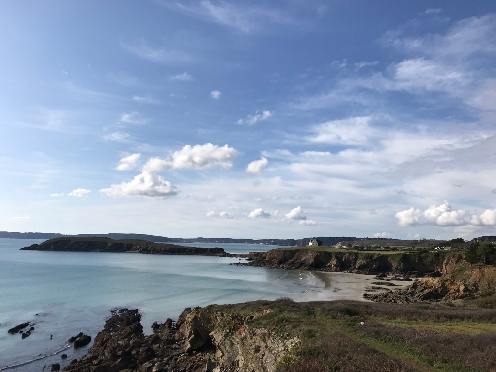
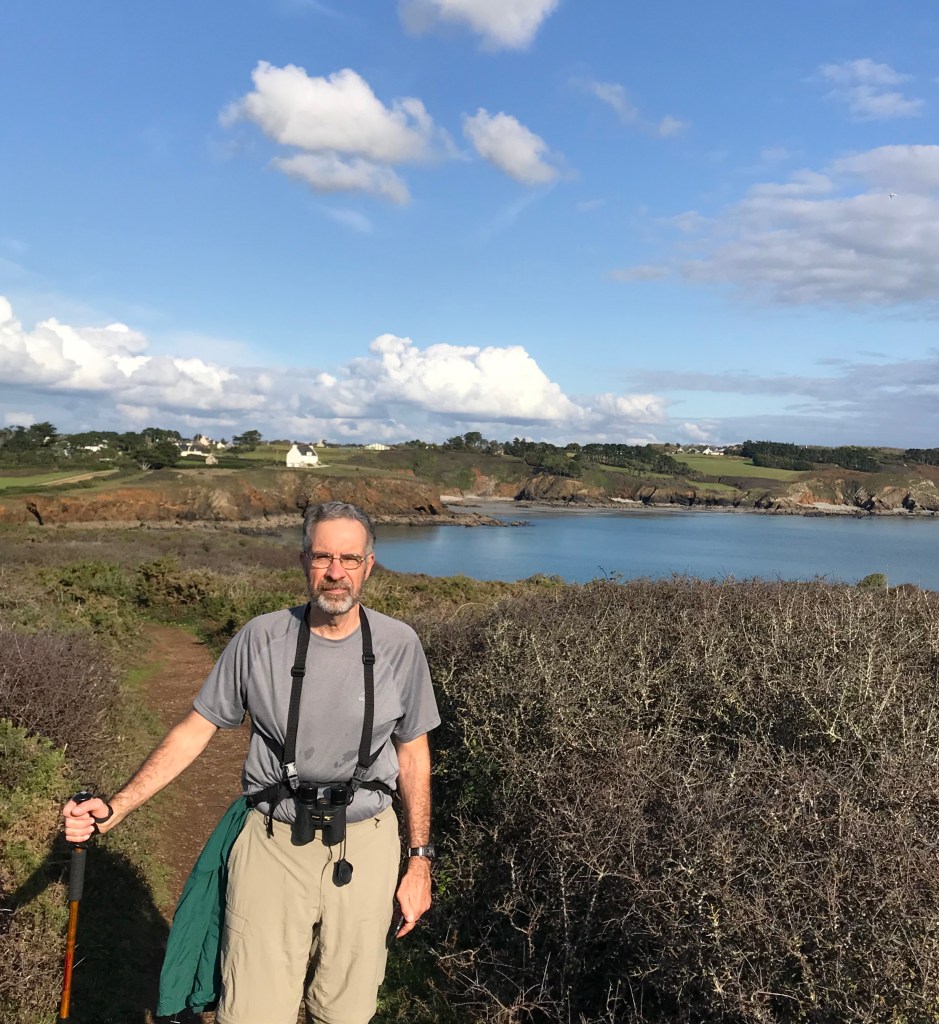
Along the way was the Île de l’Aber, to the left in the photo above. It’s only an island when the tide is in. We were lucky enough to arrive around low tide so we went out to explore.
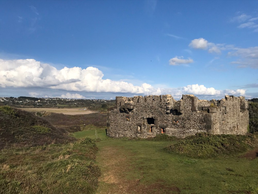
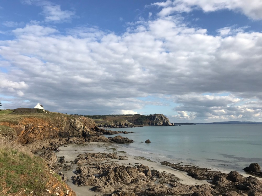
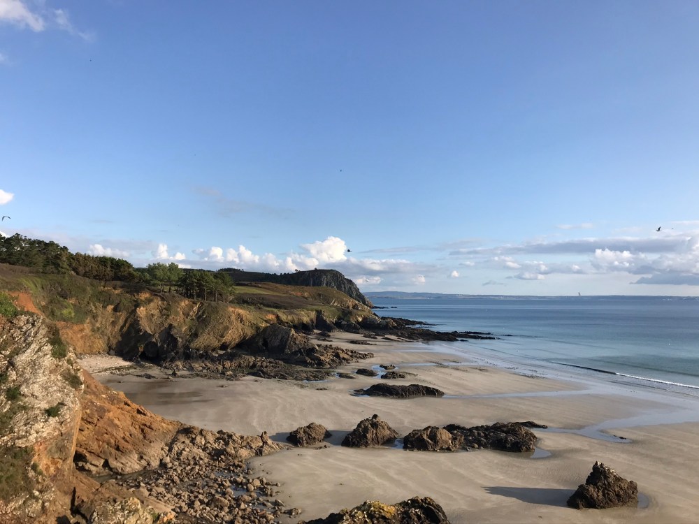
The French military engineer Vauban was a busy man. He built the original fortification on this island back in 1694, which was replaced in 1846 by this one. (How do we know all this, you ask? The French were kind enough to give us another explanatory sign…) It’s called the Fort de l’Aber. Are you sensing a theme? It appears the French were running out of names…. The beach below? Yes, it’s the Plage de l’Aber.
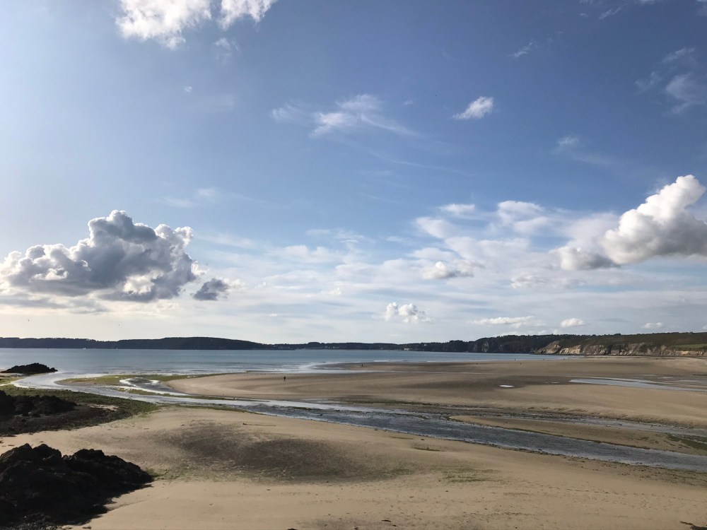
This was the first time the GR34 took us inland up a river. We followed the path through a field, then down a few hairpin turns to find ourselves on the river bank. Did we take a wrong turn? No, a quick check of the map app showed we were on the trail. When the tide comes in it looks like the water comes right up to the path – must be an interesting walk. Fortunately, the water was well-behaved during our visit.
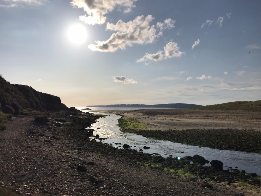
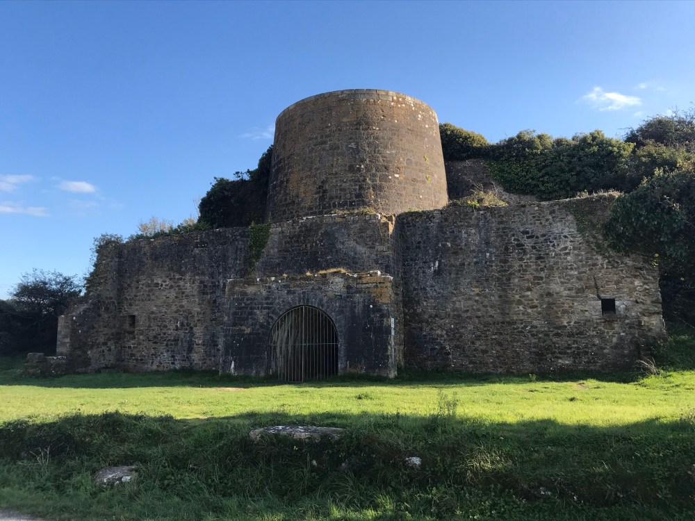
The furthest extent of our hike was this lime oven (four à chaux). I don’t know why, but I was expecting something a lot smaller! I guess if you were going to make lime, it paid to do it in quantity.
Then we walked all the way back…
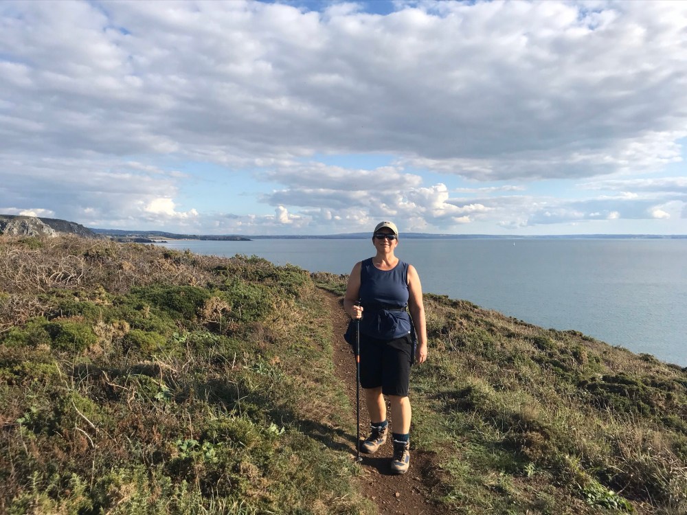

I’m sitting here with my glass of red wine, and feeling exhausted after a long day of hiking and walking! Greg too!
LikeLike